
About
Local. Fast. Precise.
Accurate data. Fast. Every time.
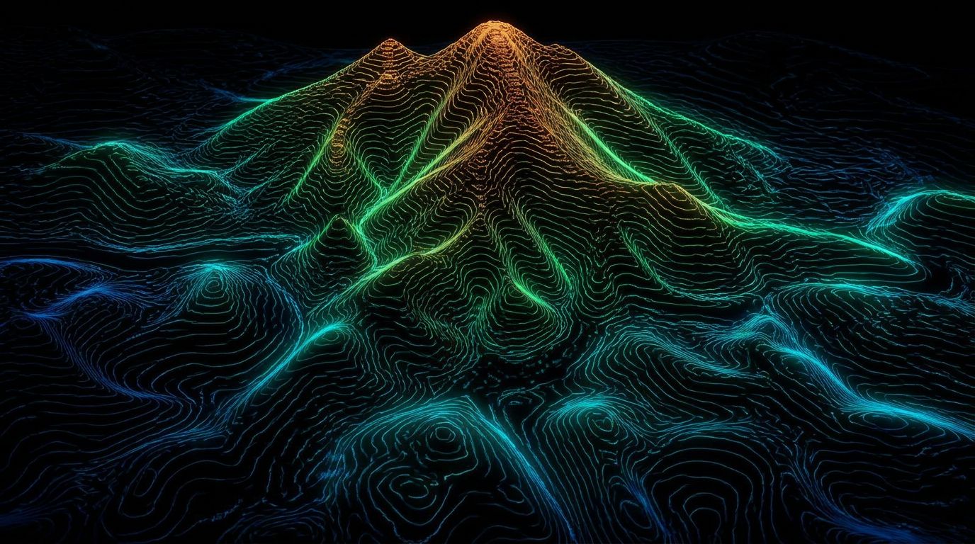
Elevation model — contour surface
Who we are
I'm Brady Coleman.
After 15 years in the oilfield and direct experience working alongside survey crews in the Uinta Basin, I saw the same problems over and over: projects stalled waiting on data, crews tied up for weeks on conventional survey, and design teams sitting idle. I built Utah LiDAR to fix that.
We are an independent geospatial company based in the Uintah Basin, serving Utah, Colorado, Wyoming, Idaho, Nevada and surrounding states. We specialize in high-accuracy drone LiDAR and RTK data collection for civil engineering firms, surveying companies, and mining operations. Our job is simple — deliver clean, dense, usable data fast so your projects keep moving.
Why it matters
Nothing happens until the survey data is in.
Traditional methods are slow. They burn time, money, and crew hours. When data is late or incomplete, everything downstream suffers.
We use a DJI Matrice 400 with Zenmuse L3 LiDAR and Emlid RTK systems to collect high-density point clouds across large areas in a fraction of the time. The result is accurate volume calculations, topographic surfaces, as-builts, and preliminary CAD linework that your Professional Land Surveyor can review and your design team can put to work immediately.
We don't replace your PLS.
We make them faster and more productive.
The promise
- Speed without sacrificing accuracy.
- Clean deliverables that are actually usable.
- Local support from someone who understands how work gets done out here.
- Accurate data. Fast. Every time.
That's not a slogan — it's how we operate.
All deliverables are provided as preliminary or supporting data. Stamped or permitted use requires review and certification by a licensed Professional Land Surveyor.
Who we work with