
As-builts
Construction As-Built Mapping & Existing-Condition Documentation
LiDAR as-built surveys that document what is actually on the ground — before construction starts and after the work is complete.
As-Built Surveys
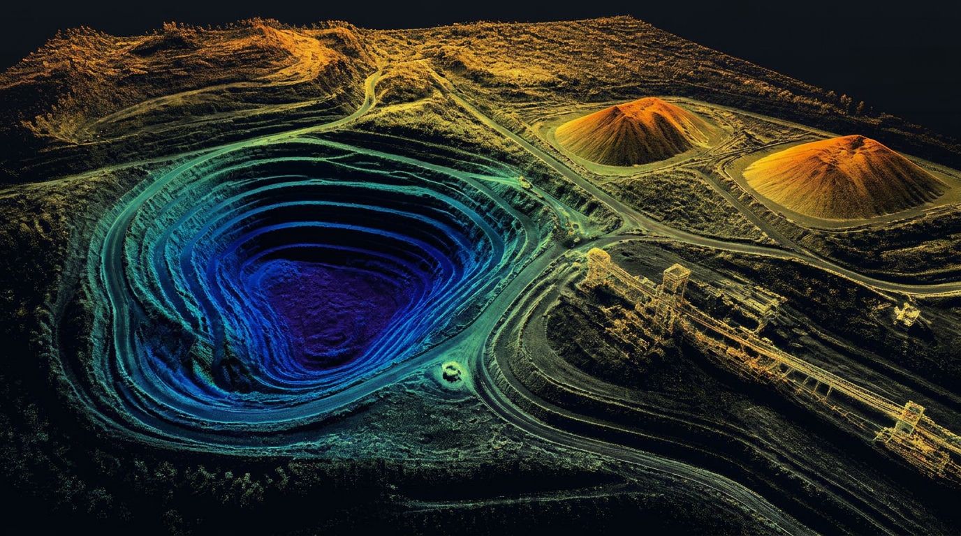
An as-built documents reality. Drone LiDAR captures that reality densely enough that questions raised months later can be answered from the data instead of from memory.
We use the same platform and control for two distinct applications: capturing a site before work begins, and documenting the finished work afterward.
What's involved
Pre-construction existing conditions
A dense, dated record of the site before anyone breaks ground — original grade, existing improvements, drainage, access, and adjacent conditions. This is the baseline every later quantity and claim is measured against.
Post-construction as-built documentation
What was actually built, where it actually sits. Pads, grades, ditches, roads, containment, and surface improvements captured after completion for the project record.
Construction verification
Compare constructed surfaces against design surfaces to confirm grade, slope, and elevation before the crew demobilizes rather than after.
Dispute and claim support
Time-stamped, high-density data that documents site condition at a specific date — useful when quantities, damage, or scope are questioned later.
Feature extraction
Breaklines and preliminary linework for the constructed features your record drawings need, delivered CAD-ready.
Fast mobilization
Because a flight is hours rather than days, as-built capture can be scheduled around the construction calendar instead of driving it.
As-built deliverables
One capture, a permanent record
- Classified point cloud of the site
- As-built surface and contours
- Design-versus-constructed surface comparison
- Breaklines and preliminary CAD linework
- Spot elevations at critical features
- Orthomosaic for visual record when requested
- Dated capture documentation for the project file
The point cloud doesn't just answer today's question. It stays available for the next question — a year from now, when the only other record is a memory.
Common questions
What is an as-built survey?
An as-built records the location and condition of improvements after they are constructed — finished grades, structures, pavement, drainage, and other completed work. There is an important distinction between LiDAR as-built documentation, which is measured field data and derived exhibits, and a formal survey deliverable that requires licensed review, certification, or a seal.
How is LiDAR used for construction as-builts?
LiDAR captures dense three-dimensional data of the completed site: finished grades, structures, utilities that are visible at the time of collection, pavement, walls, drainage features, and other improvements. From that point cloud we produce surfaces, contours, linework, and comparison exhibits.
What is the difference between an as-built and existing-conditions mapping?
Existing-conditions mapping documents what is present before or during design and construction, and forms the baseline. As-built documentation records the completed work and is often compared against approved plans or design surfaces.
When should construction LiDAR data be collected?
Common milestones: before mobilization, before demolition, after clearing, after mass grading, before utilities are buried, at major payment milestones, after final grading, and at project completion. Each capture becomes part of the project record.
Can LiDAR verify whether construction matches the design?
Yes — LiDAR surfaces and point clouds can be compared against design models to identify elevation and positional differences. The scope should define which features are checked, what tolerances apply, and which design files are the reference.
What deliverables are available for as-built documentation?
Registered point cloud, surface model, contours, elevation comparison, cut-and-fill map, preliminary linework, CAD files, deviation maps, project imagery, and PDF exhibits.
Can LiDAR document underground utilities?
Only when they are exposed and captured before burial, or when paired with another compatible underground-location method. LiDAR cannot see through soil, so buried utilities must be scanned in open trench or located by other means.
Does an as-built LiDAR scan need to be stamped by a Professional Land Surveyor?
It depends on the intended use, the contract, the jurisdiction, and whether the deliverable constitutes professional land surveying. Final maps, surveys, and related documents may require a licensed surveyor's seal under Utah law. We coordinate with your PLS so the deliverable is appropriate for how you plan to use it.
Other services
Service areas
Where We Provide As-Built Surveys
Utah LiDAR mobilizes from the Uintah Basin for as-built surveys across the Intermountain West. Choose a state to see terrain notes, mobilization details, and local project considerations.
All service areas →All deliverables are provided as preliminary or supporting data. Stamped or permitted use requires review and certification by a licensed Professional Land Surveyor.
Who we work with