
Services
Services
High-accuracy drone LiDAR and geospatial data for civil engineering firms, surveying companies, and mining operations across Utah, Colorado, Wyoming, Idaho, Nevada and surrounding states.
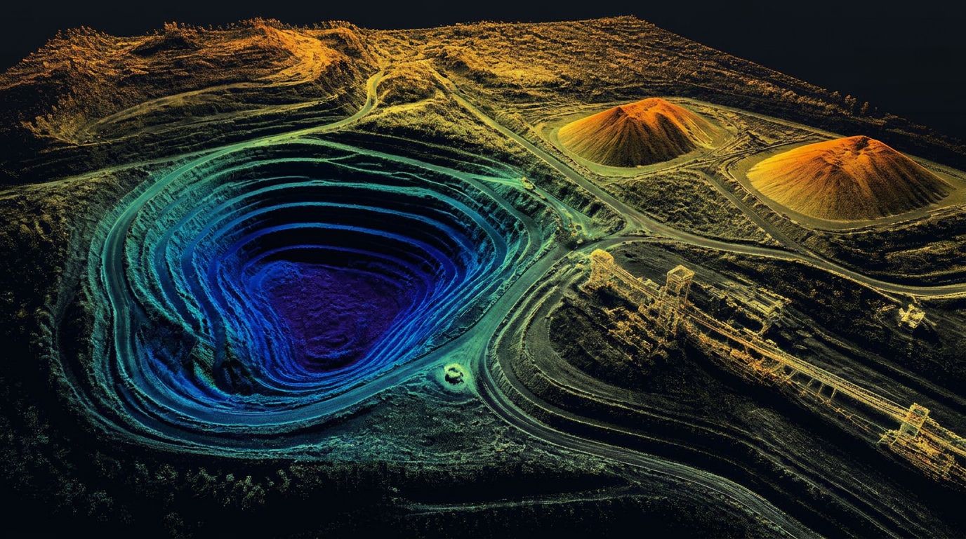
Point cloud capture — open pit and stockpiles
Nothing moves until the data arrives. Conventional survey is slow, expensive, and creates bottlenecks that stall entire projects.
We change that.
Utah LiDAR delivers dense, accurate field data fast — so your Professional Land Surveyor can review and stamp, and your design team can keep moving.
Core services
Drone LiDAR Mapping Services
Aerial LiDAR data collection for civil engineering, surveying, and mining firms across Utah and the Intermountain West — dense point clouds, RTK-controlled, delivered in days.
Learn more →LiDAR Topographic Mapping
Drone-based topographic survey data — bare-earth surfaces, contours, breaklines, and CAD-ready digital terrain models for design teams across the Intermountain West.
Learn more →Stockpile Volume Surveys & Volumetric Calculations
Repeatable drone stockpile surveys for aggregate yards, frac sand operations, quarries, and mines — defensible numbers for inventory, billing, and reconciliation.
Learn more →Construction As-Built Mapping & Existing-Condition Documentation
LiDAR as-built surveys that document what is actually on the ground — before construction starts and after the work is complete.
Learn more →Earthwork and Cut-and-Fill Surveys
Measure how much material has been excavated, placed, or moved — progress volumes, quantity verification, and final-grade comparison from drone LiDAR.
Learn more →Contract LiDAR Data Collection for Survey and Civil Engineering Firms
Subcontract and white-label LiDAR collection that works under your Professional Land Surveyor's direction — field data only, or fully processed deliverables.
Learn more →Conventional Survey Tech Support
RTK data collection using our Emlid Reach RS4 base and RS4 Pro rover. Available as standalone support or paired with LiDAR for ground control and densification.
What you receive
Delivered clean, organized, and ready for the next step
- High-density LiDAR point clouds
- Accurate volume calculation reports
- Topographic surfaces
- Preliminary CAD linework and surfaces ready for import into Civil 3D / AutoCAD
- Breaklines and extracted features
- Orthomosaics (when needed)
- Well-organized files that drop straight into your existing design workflow
We don't just hand you raw data. We hand you data your team can actually use.
All deliverables are provided as preliminary or supporting data. Stamped or permitted use requires review and certification by a licensed Professional Land Surveyor.
Who we work with