
For survey & civil firms
Contract LiDAR Data Collection for Survey & Civil Firms
Subcontract and white-label LiDAR collection that works under your Professional Land Surveyor's direction — field data only, or fully processed deliverables.
Contract LiDAR
We are not a competing survey firm. We are field capacity you can call when the schedule is tight, the site is rough, or the acreage is more than a crew can walk in the time available.
You keep the client. You keep the stamp. We collect the data, under your direction, on your coordinate system, and hand it back in the format your team already works in.
What's involved
White-label & subcontract
Work delivered under your firm's name when you want it that way. We do not solicit your clients and we do not compete for the surveying relationship behind the project.
Field collection or full processing
Take the raw controlled point cloud and process it in-house, or have us deliver classified surfaces, contours, breaklines, and CAD linework ready for your review.
Under your PLS's direction
Your Professional Land Surveyor sets the scope, tolerance, and control requirements. We execute to them and document what we did.
Coordinate systems & control
State plane zone, vertical datum, geoid model, and control scheme confirmed before we fly. Check shots and control reports come with the delivery.
Point-cloud classification
Ground, vegetation, structures, and noise separated to your specification so the surfaces you receive behave the way your workflow expects.
Capacity & coverage
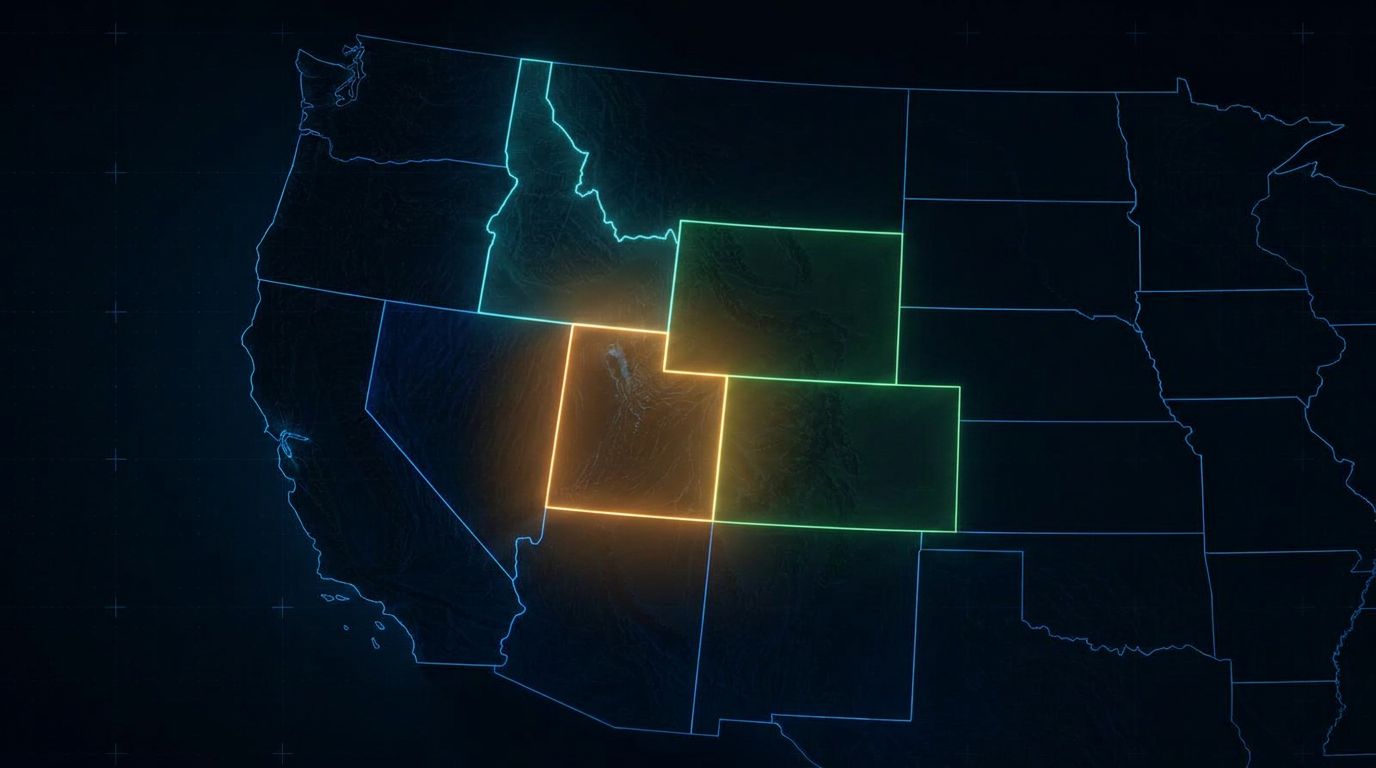
Matrice 400 with Zenmuse L3 and Emlid RTK, mobilized by truck across Utah, Colorado, Wyoming, Idaho, Nevada, and surrounding states. Project-by-project, no regional commitment.
How firms use us
Turnaround that protects your deadline
- Overflow capacity when crews are committed elsewhere
- Large-acreage topography that would take days on the ground
- Steep, brushy, or unsafe terrain
- Active sites where ground access is limited
- Recurring volume and progress work you'd rather not staff
- One-off LiDAR scope on a project that doesn't justify buying a sensor
- Fast-turnaround existing conditions ahead of a design deadline
Most collections are processed and returned within days. Tell us the delivery date you're working against and we'll tell you honestly whether we can hit it.
Common questions
What are contract LiDAR data-collection services?
Utah LiDAR performs project-based field acquisition and agreed processing for survey, civil engineering, construction, and geospatial firms that need additional field capacity or specialized equipment. You define the scope and tolerance; we mobilize, collect, and deliver in the format your team works in.
Can Utah LiDAR work under the direction of our Professional Land Surveyor?
Yes — collection procedures, control, deliverables, and review can all be coordinated with your PLS so the data fits your firm's standards and review process. The specific working relationship, including any supervisory arrangement, is defined by your contract and applicable licensing requirements.
Do you provide field collection only or processed deliverables?
Either. Options include raw point-cloud acquisition, registered point clouds, classified point clouds, terrain models, contours, breaklines, preliminary linework, volume reports, and CAD-ready surfaces. Many firms take the controlled raw data and process in-house.
Can your LiDAR services be white-labeled?
Yes. Work can be delivered under your firm's name, with confidentiality maintained, all client communication kept in your hands, and files delivered in your branding and format. We do not solicit your clients.
What information do you need to quote a contract LiDAR project?
Site location, acreage or corridor length, intended use of the data, accuracy requirements, deliverables, coordinate system and datum, existing control, vegetation and terrain conditions, schedule, airspace or site restrictions, and processing requirements.
Can you use our existing survey control?
Yes, subject to verification and suitability. Please send point descriptions, coordinates, datums, units, monument details, quality or adjustment information, and the control files themselves so we can check them before mobilizing.
What coordinate systems and file formats can you support?
Project-specific horizontal and vertical datums, state-plane systems, and local coordinate systems, delivered as LAS/LAZ, DWG, DXF, LandXML, CSV, TIN surfaces, raster surfaces, and other agreed formats.
How do you protect our client relationships and project data?
We sign NDAs, deliver files through secure channels, keep project information confidential, support white-label arrangements, restrict project sharing, and follow agreed data-retention practices. Your client relationship stays yours.
Can you mobilize to projects outside Utah?
Yes. We mobilize by truck across Colorado, Wyoming, Idaho, Nevada, and surrounding states. Travel distance, project size, mobilization fees, and scheduling are discussed up front, and multi-site work in a region can often be bundled into one trip.
Other services
Service areas
Where We Provide Contract LiDAR
Utah LiDAR mobilizes from the Uintah Basin for contract lidar across the Intermountain West. Choose a state to see terrain notes, mobilization details, and local project considerations.
All service areas →All deliverables are provided as preliminary or supporting data. Stamped or permitted use requires review and certification by a licensed Professional Land Surveyor.
Who we work with