
Mining & aggregate
Repeatable Volumes for Mines, Pits, and Yards
Measure stockpiles, track pit progression, document existing conditions, and calculate material movement with repeatable LiDAR data. Utah LiDAR supports mines, quarries, frac sand operations, and aggregate yards throughout the Intermountain West.
Why these operations use LiDAR
Repeatable Volumes Without Slowing Operations
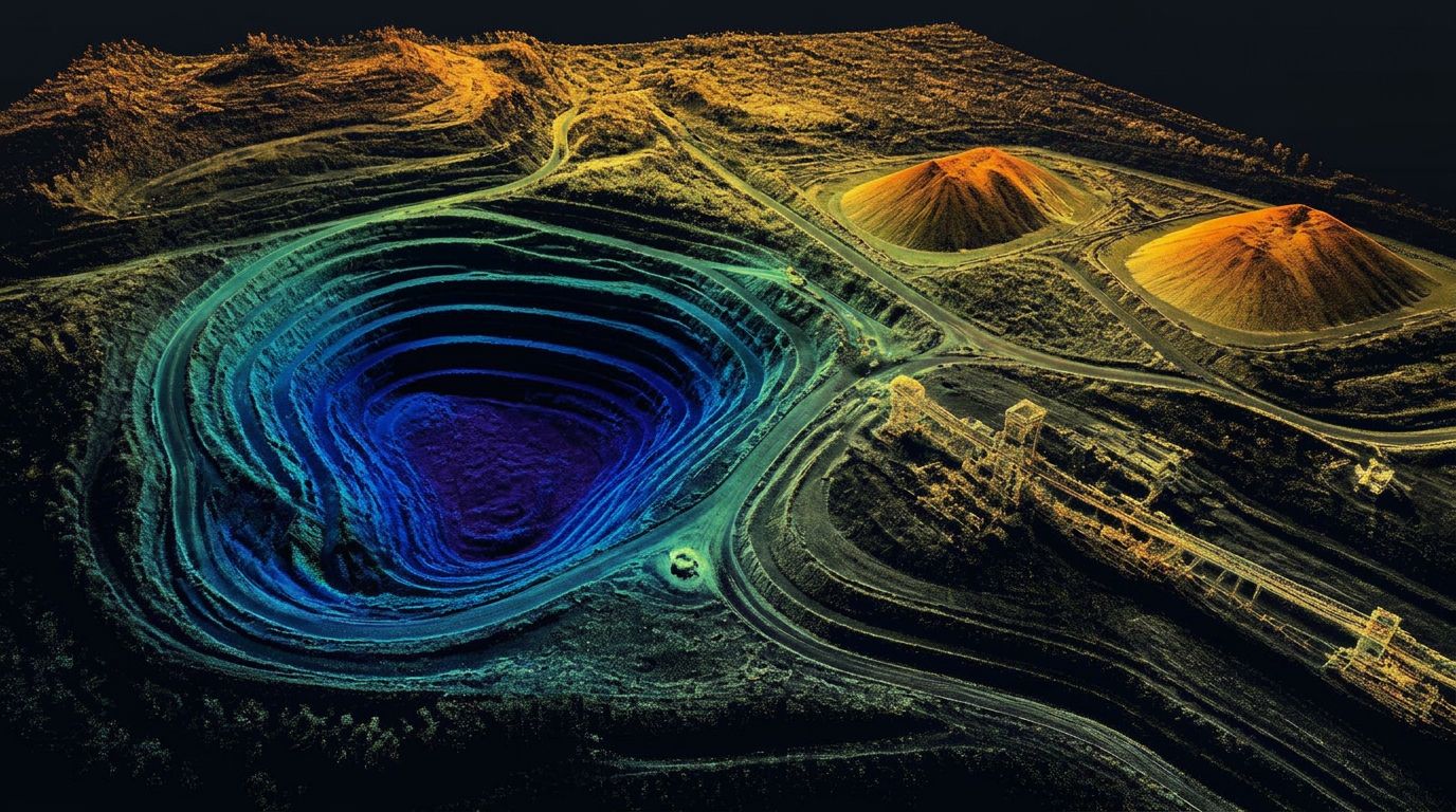
Inventory, production, billing, and planning depend on reliable quantities. LiDAR captures dense surface measurements across stockpiles, pits, haul roads, and active sites while reducing the need for personnel to physically occupy difficult terrain.
Repeat collections can be performed using a consistent method so operations teams can compare results over time.
Inventory numbers matter to accounting, to reserves reporting, and to the people running the plant. Guessing costs money in both directions.
We fly your yard or pit on a repeatable schedule and measure against the same defined base surface every cycle, so month-over-month numbers are actually comparable.
Deliverables
- Stockpile volume tables
- Pit quantities
- Cut-and-fill maps
- Classified point clouds
- Terrain surfaces
- Contours
- Surface comparisons
- PDF inventory exhibits
- CAD-compatible files
- Estimated tonnage using client-approved density
Relevant services
LiDAR Services for Mining & Aggregate
Stockpile Volume Surveys
Dense surface capture and volume calculations for aggregate, frac sand, gravel, ore, coal, topsoil, and other stored material.
Pit and Quarry Volume Calculations
Current surfaces compared with previous or reference surfaces to quantify excavation and pit progression.
Earthwork Quantity Measurement
Cut, fill, and net quantities for excavation, placement, reclamation, and site development.
Topographic Mapping
Terrain surfaces, contours, roads, drainage features, and site conditions for planning and engineering.
Repeat Inventory Programs
Monthly, quarterly, annual, or project-specific collections using a repeatable workflow and a consistent base surface.
As-Built and Progress Documentation
Time-stamped site capture for construction, reclamation, infrastructure, and operational changes.
Applications
How we help
What Mining & Aggregate Get From Us
Defined base surfaces
Volumes are computed against a documented base so cycles can be compared without re-arguing the method.
Whole-site in one flight
Every pile, bench, and haul road captured in a single mobilization rather than pile-by-pile.
Pit and reclamation tracking
Excavation progress, remaining reserves, and reclamation earthwork measured over time.
Safer than walking piles
No crew climbing loose material or working around active equipment to get a number.
Related services
Stockpile Volumes
Drone stockpile surveys and volumetric calculations for aggregate, frac sand, quarry, and mine operations. Repeatable monthly material inventory you can bill against.
Earthwork & Cut/Fill
Cut and fill surveys, earthwork volume calculations, and progress quantity verification using drone LiDAR for mass grading, excavation, and pit progression.
Drone LiDAR Mapping
UAV LiDAR surveying and aerial LiDAR services across Utah and the Intermountain West. RTK-controlled drone LiDAR mapping with CAD-ready deliverables in days.
Service areas
Mining and Aggregate LiDAR Across the West
Utah LiDAR mobilizes for qualifying mining, quarry, stockpile, and aggregate projects throughout:
Common questions
Mining & Aggregate LiDAR FAQs
How are stockpile volumes calculated with LiDAR?
The pile surface is captured as a dense point cloud, classified, and turned into a surface. Volume is computed between that surface and an agreed base — a defined toe, a prior surface, or a pad elevation you supply.
How accurate are LiDAR stockpile measurements?
Accuracy depends on ground control, point density, pile geometry, and how well the base surface is defined. On most yards the base-surface assumption, not the point cloud, is the largest source of variation between reports.
Can LiDAR calculate stockpile tonnage?
Volume is measured directly. Tonnage is derived by applying a density factor that you approve, so reported tons are only as good as the density value supplied.
Can an active quarry remain operational during collection?
In most cases yes. Flights are coordinated with operations so loaders and haul trucks keep working, though heavily trafficked areas may be timed to reduce equipment sitting on the surfaces being measured.
How frequently should stockpiles be measured?
Monthly is common for inventory and production reporting, quarterly for slower-moving material, and year-end for reserves and accounting. Consistent timing makes period comparisons more meaningful.
Can repeat scans track pit progression?
Yes. Collecting the pit on a repeatable plan produces comparable surfaces, so excavated volume, bench advancement, and remaining material can be quantified between periods.
What materials can be measured?
Aggregate, sand and gravel, frac sand, ore, coal, topsoil, overburden, spoil, road base, and similar stored materials — anything with a definable surface and base.
Can LiDAR reduce exposure to steep or hazardous terrain?
Yes. Piles, benches, highwall areas, and active faces can be measured from the air rather than by walking loose material or working near operating equipment.
Other industries
All deliverables are provided as preliminary or supporting data. Stamped or permitted use requires review and certification by a licensed Professional Land Surveyor.