
Energy & infrastructure
Corridors, Pads, and Facilities — Mapped Fast
Collect dense terrain and existing-condition data for well pads, pipelines, access roads, utilities, reclamation areas, and infrastructure corridors. Based in Utah's Uintah Basin, Utah LiDAR can mobilize throughout the Intermountain West.
Why energy teams use LiDAR
Dense Data Across Large and Remote Project Areas
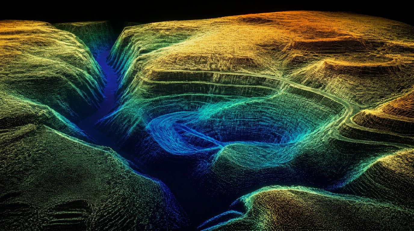
Energy and infrastructure sites frequently involve remote access, long corridors, changing grades, difficult terrain, and demanding construction schedules. Drone LiDAR provides dense field measurements that can support planning, design, quantity review, construction documentation, and reclamation.
Energy and infrastructure work lives on remote ground with long corridors and tight reporting requirements. Conventional survey there is slow and expensive.
We're based in the Uintah Basin and fly pads, corridors, and facility sites routinely — including reclamation volumes and access-road documentation.
Deliverables
- Pad and facility surfaces
- Corridor point clouds and topography
- Access-road and drainage documentation
- Reclamation and earthwork volumes
- Contours and breaklines
- CAD and Civil 3D-compatible files
- Elevation-difference and quantity exhibits
- Date-stamped as-built records
Relevant services
LiDAR Services for Energy & Infrastructure
Well-Pad and Facility Mapping
Existing conditions, grading surfaces, access areas, drainage, and visible site infrastructure.
Pipeline and Utility Corridor Mapping
Terrain and surface capture across linear project areas and difficult-access routes.
Access-Road Topography
Existing roads, proposed routes, slopes, drainage crossings, and surrounding terrain.
Reclamation and Earthwork Volumes
Surface comparisons supporting excavation, fill placement, restoration, and reclamation planning.
Construction As-Builts
Post-construction documentation of pads, roads, grading, and visible improvements.
Contract Field Support
LiDAR and RTK collection coordinated with the project surveyor, engineering firm, or energy operator.
Applications
How we help
What Energy & Infrastructure Get From Us
Pad and facility as-builts
Constructed pads, access roads, and facility footprints documented against design.
Corridor mapping
Pipeline, transmission, and roadway corridors captured in continuous passes.
Reclamation volumes
Earthwork quantities for reclamation and restoration reporting.
Remote-site logistics
Long drives and rough access are normal for us — travel is scoped up front.
Related services
Drone LiDAR Mapping
UAV LiDAR surveying and aerial LiDAR services across Utah and the Intermountain West. RTK-controlled drone LiDAR mapping with CAD-ready deliverables in days.
As-Built Surveys
Drone LiDAR as-built surveys and existing conditions documentation for construction verification, post-construction records, and pre-construction baselines.
Earthwork & Cut/Fill
Cut and fill surveys, earthwork volume calculations, and progress quantity verification using drone LiDAR for mass grading, excavation, and pit progression.
Service areas
Energy and Infrastructure LiDAR Across the West
Utah LiDAR mobilizes for qualifying energy, utility, and infrastructure projects throughout:
Common questions
Energy & Infrastructure LiDAR FAQs
How is LiDAR used on oil and gas projects?
Common uses include well-pad existing conditions and as-builts, access-road topography, gathering and pipeline corridors, tank battery and facility documentation, drainage, and reclamation earthwork quantities.
Can LiDAR map pipeline and utility corridors?
Yes. Linear corridors are flown in continuous passes, producing terrain surfaces, contours, and existing-feature data along the full route including difficult-access segments.
Can Utah LiDAR reach remote project sites?
Remote access is routine — our home base is the Uintah Basin. Travel, site access, and any required orientation are scoped before mobilization.
Can LiDAR calculate reclamation or earthwork quantities?
Yes. Surfaces collected before, during, and after work are compared to quantify excavation, fill placement, restoration, and remaining work within a defined boundary.
Can access roads and drainage crossings be mapped?
Yes. Existing road surfaces, slopes, ditches, culvert approaches, and crossings can all be captured as part of the same collection over the project footprint.
What data is needed before mobilization?
Site location and project limits, access and gate information, coordinate system and datum, accuracy expectations, existing control, airspace considerations, and the deliverables required.
Can projects be completed across multiple states?
Yes. We work across Utah, Colorado, Wyoming, Idaho, Nevada, Arizona, New Mexico, and Montana, and multi-state programs are commonly scheduled as combined mobilizations.
Can LiDAR reduce time spent collecting remote terrain?
Large or remote areas that would take a ground crew days to walk can often be captured in a single mobilization, with the field time shifting into processing rather than travel and traverse.
Other industries
All deliverables are provided as preliminary or supporting data. Stamped or permitted use requires review and certification by a licensed Professional Land Surveyor.