
Service Areas
Based in Utah. Mobilizing across the West.
We're headquartered in the Uintah Basin, but our crews and equipment travel. If your project is in the Intermountain West, we can be on site.
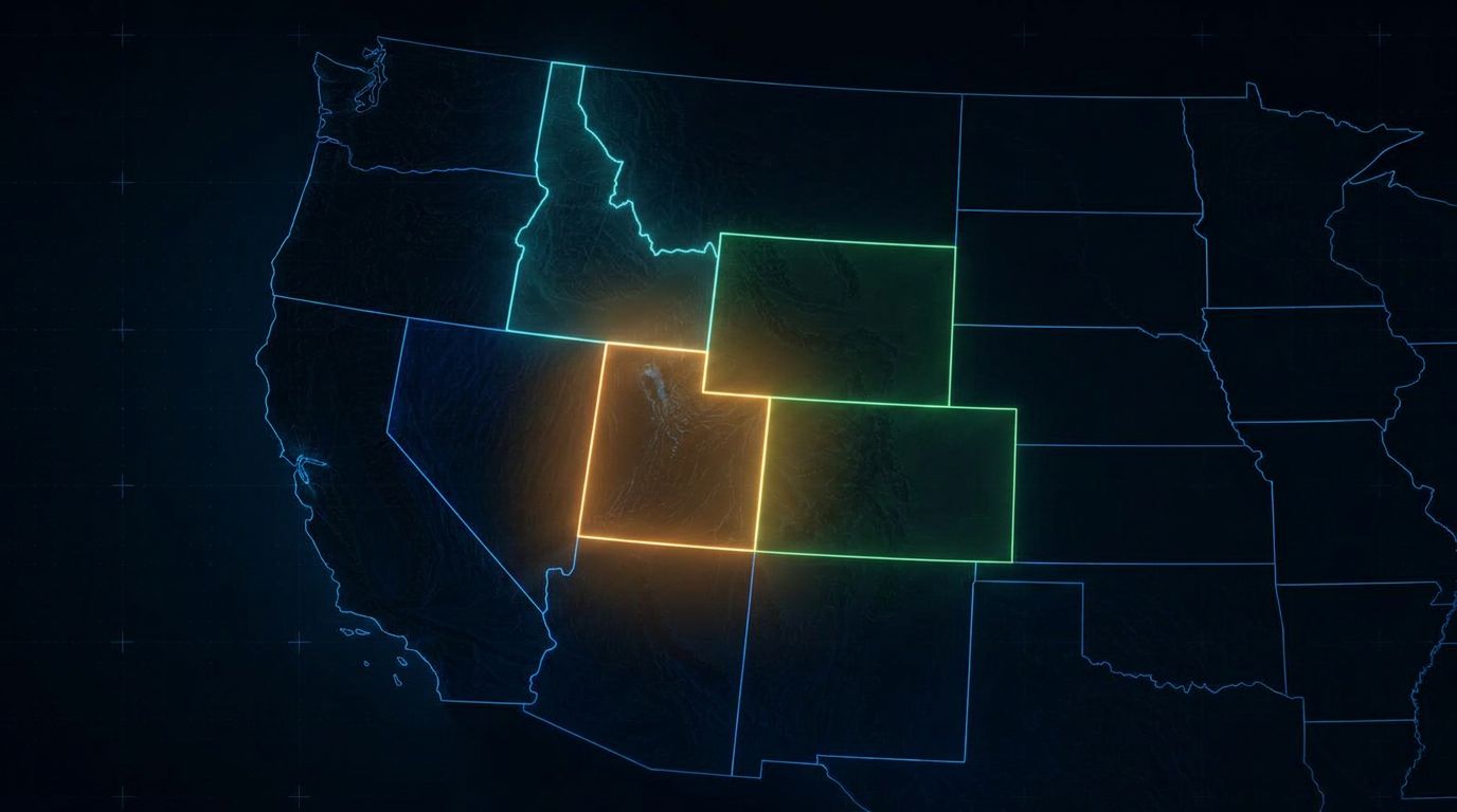
Coverage — Intermountain West
Drone LiDAR is mobile by design. Our Matrice 400, Zenmuse L3, and Emlid RTK ground control system fit in a truck — which means the same day-rate efficiency you'd get on a local pad applies to a job six hours away.
Utah, Colorado, Wyoming, Idaho, Nevada — and the surrounding states.
We work project-by-project as an independent contractor, so there's no regional commitment on your end. Tell us where the site is and we'll quote mobilization with it.
States we serve
Utah
Uintah Basin, Wasatch Front, Moab, Price, St. George and statewide.
View UT coverage →Colorado
Western Slope, Front Range, mountain communities, and southern Colorado.
View CO coverage →Wyoming
Southwestern basins, central Wyoming, the northeast, and western mountain regions.
View WY coverage →Idaho
Treasure Valley, eastern Idaho, central mountains, and the Panhandle.
View ID coverage →Nevada
Las Vegas Valley, Reno–Sparks, the northeastern mining districts, and western Nevada.
View NV coverage →Arizona
Phoenix metro, Tucson and southern Arizona, the northern high country, and the Colorado River region.
View AZ coverage →New Mexico
Northwestern, central, southeastern, and southwestern New Mexico — high-desert, energy, mining, and development projects.
View NM coverage →Montana
Southwestern, western, central, and eastern Montana — mountain, forest, prairie, and energy-country projects.
View MT coverage →Don't see your state? We regularly consider work outside this list, including Texas, Oregon, Washington, the Dakotas, and Kansas. If the scope makes sense, we'll travel.
Who we fly for
Civil Engineering
Topographic mapping, site grading data, and pre/post-construction as-builts for design teams working across multiple states.
Surveying Firms
Supporting data collection that your Professional Land Surveyor reviews and stamps — extending your coverage without adding crews.
Mining & Energy
Stockpile and pit volumes, reclamation monitoring, and pad and corridor mapping across basin and mining districts region-wide.
All deliverables are provided as preliminary or supporting data. Stamped or permitted use requires review and certification by a licensed Professional Land Surveyor.
Who we work with