
Volumes & inventory
Stockpile Volume Surveys & Volumetric Calculations
Repeatable drone stockpile surveys for aggregate yards, frac sand operations, quarries, and mines — defensible numbers for inventory, billing, and reconciliation.
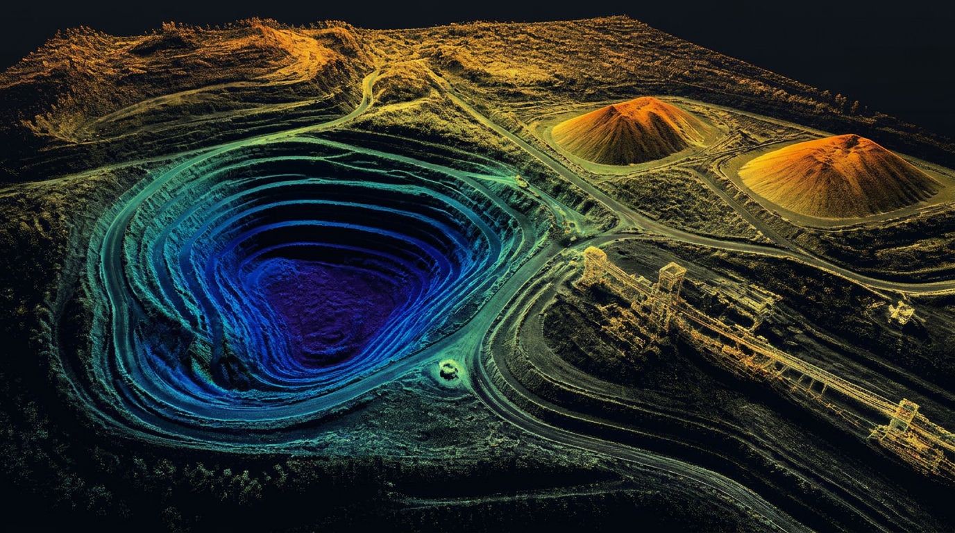
Stockpile Volumes
If you are selling, buying, or reporting material, the volume number has to hold up. Walked stockpile measurements are slow, hard to repeat, and often unsafe on steep or active piles.
Drone LiDAR captures the entire yard in one flight, at high density, with RTK control — so the number you report this month is measured the same way as the number you reported last month.
What's involved
Aggregate yards
Full-yard capture in a single mobilization: every pile, every product, measured against the same controlled base surface.
Frac sand operations
High-throughput sand operations where inventory moves quickly and the reported number drives real money.
Quarries & mines
Pit volumes, muck piles, waste rock, and finished product — measured from the air without putting anyone on an unstable slope.
Construction material yards
Borrow, base course, topsoil, and spoil piles measured for progress reporting and material reconciliation.
Recurring inventory
Monthly or quarterly cycles flown on schedule, using the same flight plan, control, and base surface every time.
Billing & reconciliation
Volume reports with methodology documented so the numbers can be defended in an audit, a reconciliation, or a dispute.
What the volume package includes
Repeatable monitoring, not one-off guesses
- High-density LiDAR point cloud of the yard or pit
- Per-pile volume calculation report
- Toe-line definition and base surface documentation
- Cut-and-fill comparison against a prior survey
- Period-over-period change summary
- Repeatable methodology notes for audit and reconciliation
- CAD-ready surfaces on request
Because we hold flight parameters, control, and base surfaces consistent between visits, your period-over-period comparisons measure real material movement instead of measurement noise.
Common questions
How are stockpile volumes measured with LiDAR?
LiDAR captures a dense surface model of the pile from the air. That measured surface is then compared against a defined base — the existing ground, a pad or bin floor, a previous survey surface, or another agreed reference — and the volume between the two surfaces is calculated.
How accurate are LiDAR stockpile volume calculations?
Accuracy depends on how much of the pile is visible, the pile's shape and toe definition, how the base surface is defined, ground control, sensor quality, and processing. For recurring inventory, repeatability — using the same base surface and methodology each cycle — often matters more than absolute accuracy.
What types of stockpiles can be measured?
Aggregate, sand, gravel, frac sand, salt, coal, ore, topsoil, mulch, recycled materials, and general construction materials. If the material forms a measurable pile with a definable base, it can typically be surveyed.
How often should stockpile inventories be completed?
It depends on inventory turnover and reporting needs. Common intervals are monthly, quarterly, and year-end, plus before or after significant material movement, at billing cycles, for audits and acquisitions, and for production reconciliation.
Can LiDAR measure stockpiles while the yard remains operational?
Often yes, with coordination. We plan around vehicle movement, active loading zones, blasting or mining activity, dust, equipment parked on piles, restricted areas, and safe flight windows. Piles that are being actively worked during the flight will not measure cleanly, so timing matters.
What information is included in a stockpile volume report?
Individual stockpile identification, calculated volume, the base-surface methodology used, a cut-and-fill map, the measurement date, a site overview, and the point-cloud or surface files. Estimated tonnage can be included when an approved material density is supplied.
Can LiDAR calculate stockpile tonnage?
LiDAR directly measures geometry and volume, not weight. Tonnage is estimated by applying a material density that you supply or approve. Moisture, compaction, material composition, and void space all affect that conversion, so the density value should come from your own testing or records.
What is the difference between a stockpile survey and an earthwork volume survey?
A stockpile survey calculates stored material sitting above a defined base surface. An earthwork survey compares terrain surfaces over time or against a design to determine excavation, fill, or material movement across a site.
Other services
Service areas
Where We Provide Stockpile Volumes
Utah LiDAR mobilizes from the Uintah Basin for stockpile volumes across the Intermountain West. Choose a state to see terrain notes, mobilization details, and local project considerations.
All service areas →All deliverables are provided as preliminary or supporting data. Stamped or permitted use requires review and certification by a licensed Professional Land Surveyor.
Who we work with