
Earthwork quantities
Earthwork & Cut-and-Fill Volume Surveys
Measure how much material has been excavated, placed, or moved — progress volumes, quantity verification, and final-grade comparison from drone LiDAR.
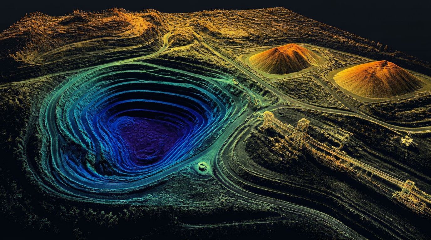
Earthwork & Cut/Fill
A stockpile survey answers how much material is stored. An earthwork survey answers a different question: how much has been excavated, placed, moved, or is still left to go.
By flying the same site on a schedule and comparing surfaces, we turn that question into a number your team can pay against, invoice against, and plan against.
What's involved
Preconstruction baselines
The original-ground surface everything else is measured from. Captured once, referenced for the life of the project.
Existing-ground models
Current-condition surfaces flown at whatever interval the work demands — weekly on a fast job, monthly on a long one.
Progress comparisons
Surface-to-surface differencing between any two dates, reported as cut, fill, and net movement with a heat map of where it happened.
Excavation & fill quantities
Separate cut and fill totals rather than a single net number, so imported, exported, and balanced material are visible individually.
Contractor payment verification
Independent quantities for pay applications — measured the same way each period, with the methodology documented.
Final-grade comparison
Constructed surface compared against design surface to identify high and low areas before signoff.
Earthwork deliverables
Mass grading and pit progression
- Original-ground and current-condition surfaces
- Cut, fill, and net volume reports
- Cut-and-fill heat map exhibits
- Progress comparison between any two survey dates
- Design-versus-constructed surface analysis
- Mass grading and pit progression tracking
- CAD-ready surfaces for Civil 3D / AutoCAD
For long-running excavations, recurring flights build a continuous record of how the pit or grading operation has progressed — useful for planning, reporting, and reclamation bonding conversations.
Common questions
What is a cut-and-fill survey?
A cut-and-fill survey compares an existing surface with a proposed, previous, or completed surface to calculate how much material must be excavated, placed, or moved. The output is cut volume, fill volume, and a map showing where each occurs.
How are earthwork volumes calculated using LiDAR?
LiDAR produces a dense terrain surface of the site as it stands. Software then compares that surface against a design model, a previous scan, an original-ground surface, or another specified base to compute cut and fill across the project area.
What is the difference between cut, fill, and net volume?
Cut is material removed. Fill is material added. Net volume is the difference between total cut and total fill — whether the site imports or exports material overall. Shrink, swell, compaction, and unsuitable material are separate engineering adjustments applied on top of measured geometry.
Can LiDAR be used to verify contractor pay quantities?
It can provide independent, repeatable quantity data for review, progress documentation, and payment discussions. Contract requirements should define the accepted methodology, control, tolerances, reference surfaces, and who has approval authority over the final quantity.
How often should earthwork progress be measured?
Common intervals are weekly on fast-moving grading, monthly for standard progress, before each payment application, after major phases, before change orders, and at final completion.
Can LiDAR compare current grades with a Civil 3D design surface?
Yes, provided we have the correct design surface, coordinate system, datum, units, and project control. Deliverables can include elevation-difference surfaces, cut-and-fill maps, quantity tables, and surface files.
Does an earthwork calculation account for soil shrink and swell?
LiDAR measures surface geometry and in-place volume. Shrink, swell, moisture, compaction, and general material behavior are separate factors that should be supplied or evaluated by the contractor, geotechnical engineer, or project engineer and applied to the measured quantities.
What causes differences between two earthwork volume reports?
Usually one of: different base surfaces, different project boundaries, missing breaklines, control differences, coordinate-system or datum errors, vegetation or equipment left in the surface, standing water, different processing methods, differing shrink or swell assumptions, or simply different collection dates. When two numbers disagree, comparing methodology and reference surfaces resolves it faster than re-measuring.
Other services
Service areas
Where We Provide Earthwork & Cut/Fill
Utah LiDAR mobilizes from the Uintah Basin for earthwork & cut/fill across the Intermountain West. Choose a state to see terrain notes, mobilization details, and local project considerations.
All service areas →All deliverables are provided as preliminary or supporting data. Stamped or permitted use requires review and certification by a licensed Professional Land Surveyor.
Who we work with