
Flagship service
Drone LiDAR Mapping Services
Aerial LiDAR data collection for civil engineering, surveying, and mining firms across Utah and the Intermountain West — dense point clouds, RTK-controlled, delivered in days.
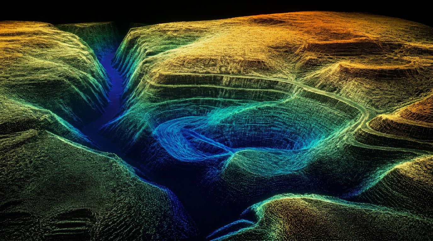
Drone LiDAR Mapping
Utah LiDAR is a drone LiDAR mapping company built around one job: getting accurate ground data into your hands fast enough that nothing on your project has to wait for it.
We fly a DJI Matrice 400 with a Zenmuse L3 LiDAR payload, controlled with an Emlid Reach RS4 base and RS4 Pro rover. That combination produces high-density point clouds over large areas in a fraction of the time a conventional crew would need — and the RTK ground control keeps it tied to your project's coordinate system.
What's involved
Platform & sensor
DJI Matrice 400 airframe with a Zenmuse L3 LiDAR payload. Long endurance, repeat-flight planning, and multiple-return capture that lets us see ground through vegetation where photogrammetry cannot.
RTK ground control
Emlid Reach RS4 base and RS4 Pro rover establish and check control on every project. Data is delivered on your state plane zone, vertical datum, and geoid model — not an arbitrary local grid.
Point cloud density
Flight parameters are set to the deliverable, not to a default. Corridor and volume work, mass topography, and detailed as-built capture each get a density and overlap plan appropriate to the tolerance you need.
Accuracy expectations
We publish the control network, flight parameters, and the checks we ran so your Professional Land Surveyor can evaluate the data against project tolerances rather than take a number on faith.
Terrain advantages
Steep slopes, active pits, brush, wash bottoms, and areas that are unsafe or slow to walk. LiDAR collects them from the air in a single mobilization instead of days of ground traverse.
Turnaround
Most projects are processed and delivered in days, not weeks. Recurring monthly work can be scheduled on a fixed cycle so the data lands the same week every period.
Typical deliverables
Project types we support
- Classified LiDAR point clouds (LAS / LAZ)
- Bare-earth digital terrain models
- Contours at your specified interval
- Volume calculation reports
- Breaklines and extracted features
- Preliminary CAD linework and surfaces for Civil 3D / AutoCAD
- Orthomosaics when the project calls for imagery
Mine and quarry mapping, aggregate and frac sand operations, road and utility corridors, subdivision and site development, landfills, reclamation, pipeline routes, and existing-conditions capture for civil design.
Common questions
What is drone LiDAR mapping?
Drone LiDAR mapping uses a UAV-mounted laser scanner to measure the ground and everything on it, returning a dense three-dimensional point cloud of the site. Those measurements become terrain models, surface models, contours, spot elevations, and feature linework. Because the sensor fires many pulses per second and records multiple returns, some energy reaches the ground through gaps in vegetation — producing engineering-ready bare-earth data over terrain that imagery alone struggles with.
How accurate is drone LiDAR mapping?
Accuracy is a function of the sensor, flight altitude and speed, vegetation and terrain, the ground control network, whether RTK or PPK positioning is used, and how the data is processed and checked. There is no single universal accuracy number that applies to every site, so we build the collection plan around the tolerance your project actually requires and document the control and checks so your Professional Land Surveyor can evaluate the result.
What deliverables are included with drone LiDAR mapping?
Typical deliverables include classified point clouds, LAS or LAZ files, digital terrain models, digital surface models, contours, orthomosaics when imagery is collected, breaklines, CAD-ready surfaces, preliminary linework, and volume calculations. The exact deliverable list is set in the scope before we mobilize.
Can LiDAR map the ground through trees and vegetation?
Often, yes. LiDAR pulses can find openings in the canopy and return from the ground beneath, which makes it substantially more effective than imagery-only mapping in vegetated terrain. It is not x-ray vision: dense continuous canopy, steep terrain, season and leaf-on conditions, flight altitude, and point density all affect how much true ground is captured.
How is drone LiDAR different from drone photogrammetry?
Photogrammetry reconstructs a surface mathematically from overlapping photographs, so it can only model what the camera can see. LiDAR directly measures distance with laser pulses and records multiple returns per pulse. In practice, LiDAR is generally the better tool for bare-earth modeling under vegetation and for consistent elevation data, while photogrammetry excels at detailed color imagery, orthomosaics, and textured visual models. Many projects benefit from both.
What types of projects are best suited for drone LiDAR?
Topographic mapping, construction sites, mines and quarries, stockpile inventories, earthwork tracking, corridor projects, drainage studies, land development, and existing-condition documentation are all strong fits — particularly where the site is large, steep, brushy, active, or unsafe to walk.
How much land can be mapped with drone LiDAR in one day?
It depends on the site rather than a fixed acreage. Terrain, airspace restrictions, vegetation, site access, required point density, flight altitude, battery and mobilization logistics, control requirements, and the deliverables all drive daily production. We give a realistic production estimate once we know the boundary and the tolerance.
Does drone LiDAR replace a licensed land surveyor?
No. Drone LiDAR provides high-density field data, but it does not replace the professional judgment, boundary research, review, or certification provided by a licensed Professional Land Surveyor. Utah requires a license to engage in professional land surveying, and final survey-related maps and reports may require a licensed surveyor's seal depending on the work and how it is delivered.
Other services
Service areas
Where We Provide Drone LiDAR Mapping
Utah LiDAR mobilizes from the Uintah Basin for drone lidar mapping across the Intermountain West. Choose a state to see terrain notes, mobilization details, and local project considerations.
All service areas →All deliverables are provided as preliminary or supporting data. Stamped or permitted use requires review and certification by a licensed Professional Land Surveyor.
Who we work with