
Land development
Site Data Before You Commit Capital
Collect the existing-condition data needed to evaluate, design, grade, and document development sites. Utah LiDAR supports developers, surveyors, civil engineers, and contractors with dense terrain data across residential, commercial, industrial, and mixed-use properties.
Why developers use LiDAR
Understand the Site Before Design and Construction
Early site decisions depend on accurate terrain, drainage, slope, access, and existing-condition information. LiDAR can collect dense elevation data across large or complex sites, helping project teams move from feasibility and entitlement into design and construction.
The earlier you know what the dirt is going to cost, the better every decision after that gets. Waiting weeks for topo to price a parcel slows the whole deal.
We fly raw land quickly and hand your engineer the surfaces they need to run yield, drainage, and preliminary grading scenarios.
Deliverables
- Existing-ground surfaces
- Classified point clouds
- Contours and breaklines
- Preliminary grading and cut-and-fill data
- Drainage and slope information
- Civil 3D-compatible files
- PDF exhibits for review
- Date-stamped site documentation
Relevant services
LiDAR Services for Land Developers
Existing-Condition Mapping
Terrain, visible improvements, roads, walls, drainage features, and other site conditions.
Topographic LiDAR Mapping
Contours, bare-earth surfaces, breaklines, and point clouds for planning and design.
Preliminary Grading Data
Existing-ground models and surface information supporting early grading and site-layout decisions.
Earthwork Quantities
Cut-and-fill data supporting feasibility, budgeting, site balancing, and construction.
Construction Baselines and As-Builts
Preconstruction and completed-condition capture across the project lifecycle.
Contract LiDAR Support
Field-data capacity for the project's surveyor, engineer, or design team.
Applications
How we help
What Land Developers Get From Us
Feasibility-stage terrain
Existing ground for a parcel captured fast enough to inform an offer or a go/no-go call.
Earthwork cost signal
Preliminary cut-and-fill estimates against concept grading to test balance early.
Whole-parcel coverage
Large or brushy acreage mapped in one flight rather than sampled by a walking crew.
Hand-off to your design team
Deliverables go straight to your civil engineer and surveyor in their preferred formats.
Related services
Topographic Mapping
Drone topographic survey and terrain mapping services: bare-earth DTMs, contours, breaklines, spot elevations, and CAD-ready surfaces for civil design.
Earthwork & Cut/Fill
Cut and fill surveys, earthwork volume calculations, and progress quantity verification using drone LiDAR for mass grading, excavation, and pit progression.
Drone LiDAR Mapping
UAV LiDAR surveying and aerial LiDAR services across Utah and the Intermountain West. RTK-controlled drone LiDAR mapping with CAD-ready deliverables in days.
Service areas
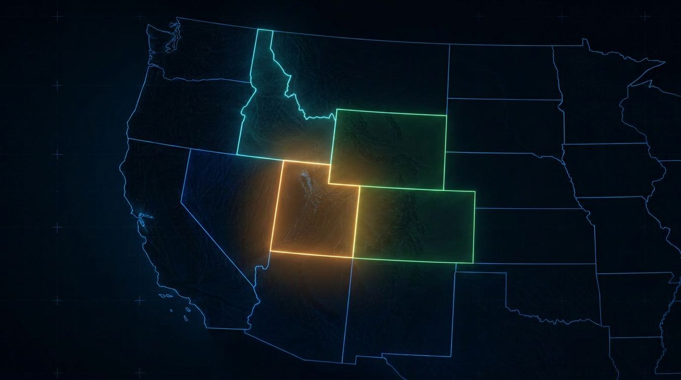
Land Development LiDAR Across the West
Utah LiDAR mobilizes for qualifying development, feasibility, and site-mapping projects throughout:
Common questions
Land Developers LiDAR FAQs
When should LiDAR be collected during land development?
Early. A collection before or during feasibility informs yield, grading, and drainage assumptions, and the site can be recollected at construction start and completion for baselines and as-builts.
Can LiDAR support site feasibility analysis?
Yes. Dense terrain data supports slope, drainage, access, and preliminary earthwork assessments before significant design fees are committed.
Is LiDAR useful for subdivision design?
Yes. Bare-earth surfaces, contours, and breaklines give the civil engineer the existing-ground basis for lot layout, street grades, and drainage design.
Can LiDAR data support grading and drainage planning?
Existing-ground surfaces can be compared against concept grading to test site balance and identify drainage patterns, subject to review by your engineer.
What files can be provided to the civil engineer?
LAS/LAZ point clouds, surfaces and TINs, contours, breaklines, preliminary linework, LandXML, DWG, DXF, CSV, and PDF exhibits.
Can data be updated during construction?
Yes. Repeat collections produce date-specific surfaces for progress quantities, grading verification, and final as-built documentation.
Can LiDAR map steep or vegetated development sites?
That is where it helps most. Multiple returns per pulse allow ground capture through partial vegetation, and steep ground is mapped without sending a crew across it.
Does Utah LiDAR provide boundary surveying?
No. Utah LiDAR provides data collection and preliminary processing. Boundary determination, certified surveys, and stamped documents require a Professional Land Surveyor licensed in the project state.
Other industries
All deliverables are provided as preliminary or supporting data. Stamped or permitted use requires review and certification by a licensed Professional Land Surveyor.