
Projects
Real Work. Real Results.
We're a new company. That means you'll see actual project results here as we complete them — not stock photos or made-up case studies.
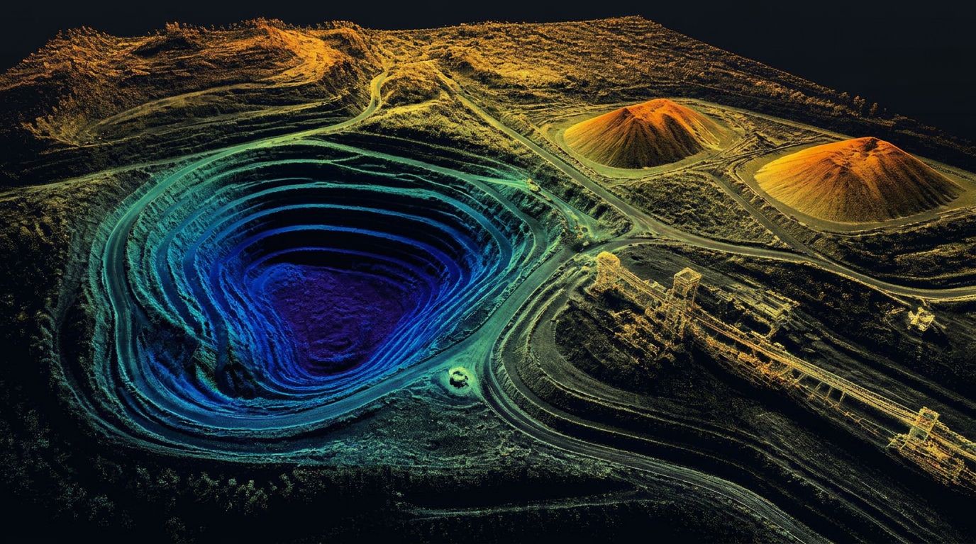
Sample deliverable — classified point cloud
Utah LiDAR is just getting started. The first jobs are already in motion, and as we deliver them, this page will fill with real examples of the work we do for civil engineering firms, surveying companies, and mining operations across Utah, Colorado, Wyoming, Idaho, Nevada and beyond.
Until then, here's exactly what you can expect from every project we complete:
What every project delivers
Stockpile & Volume Work
Dense LiDAR point clouds processed into clear, accurate volume reports you can use for inventory, planning, and billing.
Topographic & Site Data
Clean surfaces and elevation models ready for grading design and earthwork calculations.
As-Builts & Existing Conditions
High-accuracy documentation of what's actually on the ground, including preliminary linework and breaklines.
CAD-Ready Preliminary Deliverables
Preliminary CAD linework and surfaces ready for import into Civil 3D / AutoCAD — organized and usable by your design team.
Our standard
Every project is measured against the same promise: Accurate data. Fast. Every time.
We document the process, the accuracy, and the turnaround so you (and future clients) can see exactly what we deliver.
Coming soon
- Before-and-after examples
- Sample deliverables
- Turnaround times
- Real client results
Check back — the first ones will be posted as soon as they're finished.
All deliverables are provided as preliminary or supporting data. Stamped or permitted use requires review and certification by a licensed Professional Land Surveyor.
Who we work with