01
Why Civil Engineering Firms Are Using More LiDAR Data
Civil engineers need detailed information about existing conditions.
The quality of that information can affect everything that follows. Site planning, grading, drainage, utilities, road design, earthwork quantities, and construction documentation all depend on understanding what exists on the ground.
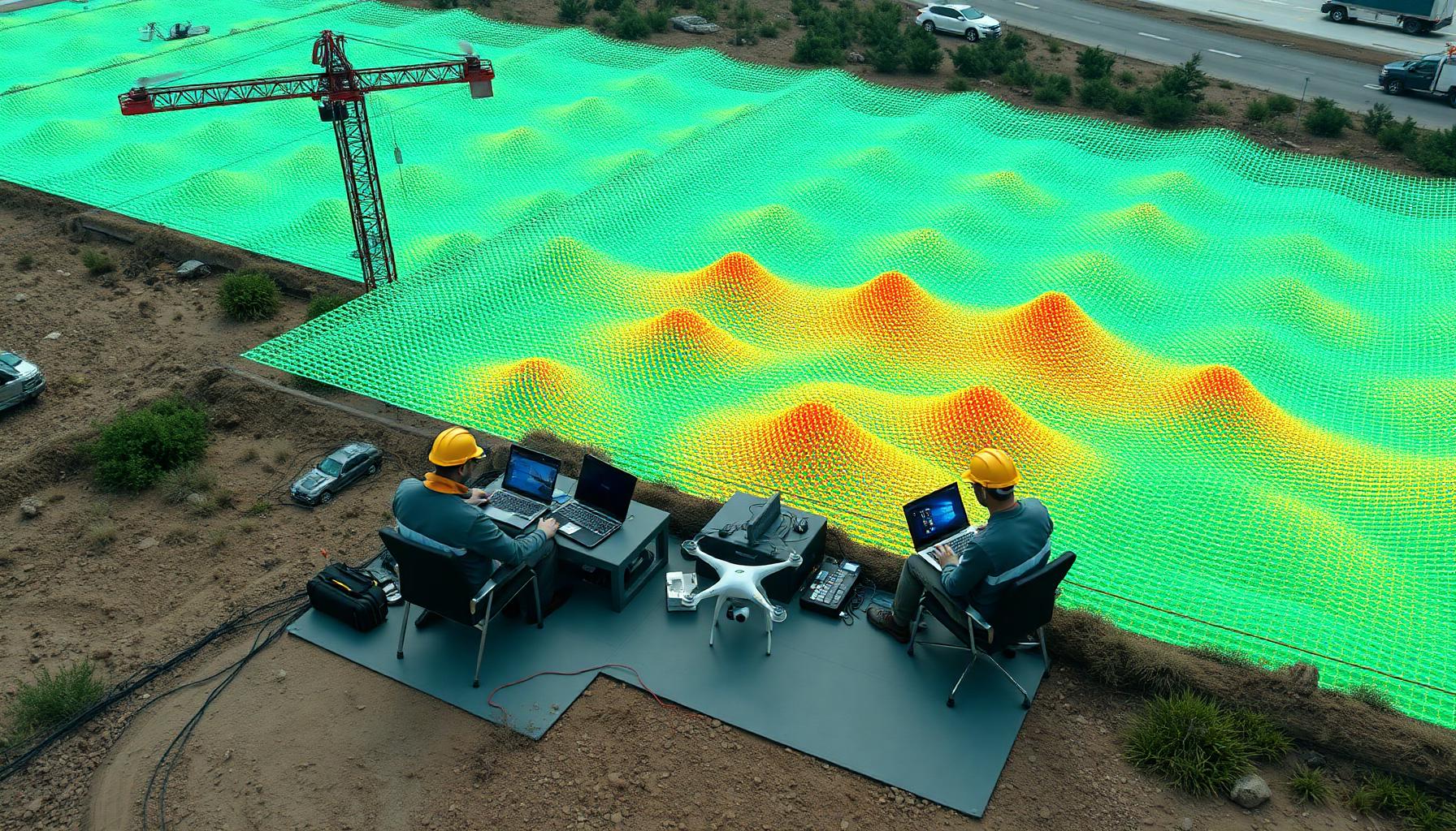
LiDAR can efficiently capture detailed information across large areas. Depending on the project, it may support topographic mapping, existing-condition data, terrain models, grading information, stockpile volumes, earthwork analysis, road corridors, construction documentation, and pre- and post-construction comparisons.
The challenge is deciding how a firm should obtain that capability.
02
Buying LiDAR Equipment Is More Than Buying a Sensor
The cost of LiDAR is not limited to the equipment itself.
Building an internal LiDAR program may involve investments in LiDAR sensors, drones or other collection platforms, GNSS equipment, computers, data storage, processing software, licensing, training, insurance, equipment maintenance, calibration, field procedures, and data-processing workflows.
There is also the cost of learning how to use the technology effectively. Owning powerful equipment does not automatically produce reliable project data. Collection planning, control, processing, quality assurance, and deliverable preparation all matter.
03
Equipment Utilization Matters
For firms using LiDAR constantly, owning equipment may eventually make sense.
But many civil engineering companies only need LiDAR on specific projects. Equipment can become difficult to justify if it spends much of the year sitting unused.
Contracting LiDAR collection allows a firm to pay for the capability when it is needed instead of maintaining an entire system year-round. This can be particularly attractive for smaller engineering companies or firms that are still determining how often LiDAR fits into their workflow.
04
Add Capacity During Busy Periods
Even firms with strong internal survey capabilities can run into capacity problems.
A large project may require extensive topographic collection while existing crews are already committed elsewhere. Hiring additional full-time staff may not make sense for temporary demand.
Contract LiDAR collection can help expand field capacity for specific projects. The internal team can continue handling control, critical survey measurements, staking, boundary work, and other responsibilities while the LiDAR provider focuses on collecting dense site information.
05
Keep Existing Survey Crews Focused on High-Value Work
One of the best uses of contract LiDAR is not necessarily replacing field crews.
It is allowing those crews to spend more time on work that specifically requires their expertise. Traditional survey crews may be needed for establishing control, boundary work, construction staking, critical verification, legal survey requirements, and specific high-precision measurements.
Meanwhile, LiDAR can handle large-scale surface collection. Dividing the workload this way can increase the amount of information collected without requiring the survey team to manually measure every part of the site.
06
Take On Projects You Might Otherwise Pass On
Equipment limitations can affect which projects a firm is willing to pursue.
A civil engineering company may encounter a project involving a large topographic survey, extensive terrain, a mine or aggregate site, large stockpiles, a road corridor, difficult access, significant earthwork, or recurring construction documentation.
Without the right collection equipment, that work may require substantial field time. Contract LiDAR services can give firms access to additional capability without making a permanent capital investment. That may allow them to pursue projects that would otherwise be difficult to complete efficiently.
07
Scale LiDAR Usage With Demand
Contract services also allow firms to scale.
One month might require no LiDAR collection. The next month might include several projects where it provides a clear advantage.
Instead of maintaining equipment, personnel, and software regardless of workload, firms can use LiDAR when it makes financial and operational sense. This can make budgeting more predictable.
08
Avoid the Learning Curve on Every New Technology
LiDAR technology continues to evolve.
Sensors improve. Processing software changes. Drone platforms change. Positioning systems improve. File sizes and processing requirements increase.
A firm that owns the entire workflow also assumes responsibility for keeping up with those changes. Working with a dedicated provider can shift some of that burden to a team already focused on LiDAR collection and processing. The engineering firm can remain focused on applying the resulting information to design and project delivery.
09
Keep Control of the Client Relationship
Contract LiDAR does not have to mean handing the project over to another company.
The engineering or survey firm can remain the primary client contact. A LiDAR provider can operate as a technical resource supporting the firm's existing workflow.
Depending on the arrangement, the client may never need to manage a separate technology vendor. This can be especially important for engineering firms that want to expand their capabilities while keeping project management and client relationships internal.
10
Define Deliverables Before Collection
Successful contract LiDAR projects begin with clear expectations.
Before fieldwork starts, both teams should understand project limits, required coordinate system, available survey control, accuracy requirements, desired point density, required deliverables, file formats, intended use of the data, processing responsibilities, and project timeline.
Defining those requirements early prevents the collection of data that does not fit the engineering team's workflow.
11
Contract LiDAR and Survey Control
LiDAR and traditional surveying often work best together.
An engineering firm's survey team may establish project control and provide the known coordinates required for the LiDAR collection. The LiDAR provider can then use that control to help align the dataset with the project.
This allows the engineering firm to retain control over critical survey components while adding efficient surface collection.
12
What Should You Look for in a Contract LiDAR Provider?
Civil engineering and survey firms should look beyond the sensor.
A useful LiDAR partner should understand the project requirements surrounding the equipment. Important considerations can include experience with engineering and survey workflows, understanding of coordinate systems, ability to work with established survey control, clear communication about accuracy, appropriate quality-control procedures, useful deliverable formats, reliable project scheduling, and ability to support repeat collection.
The objective is not simply to collect a point cloud. It is to provide data that fits into the client's existing workflow.
13
LiDAR as an Extension of Your Team
For many civil engineering firms, contract LiDAR makes the most sense when it functions as an extension of their existing capabilities.
The engineering team provides project knowledge, design expertise, survey control, and client management. The LiDAR provider supplies specialized equipment, field collection, processing capability, and additional capacity.
That combination can provide access to advanced data collection without requiring every firm to build the same technology stack internally.
14
Expand Capacity Without Expanding Overhead
Engineering firms do not necessarily need to own every piece of technology they use.
They need dependable access to the right information. Contract LiDAR can provide that access while helping firms reduce equipment investment, expand field capacity, and respond to projects that require large amounts of detailed site data.
Utah LiDAR provides contract LiDAR services and technical support for civil engineering firms, survey companies, contractors, and other organizations that need additional data collection capability. Whether your team needs help with a single large topographic project or ongoing LiDAR support across multiple jobs, we can work within your existing survey and engineering workflow rather than trying to replace it.