01
How Is a LiDAR Point Cloud Created?
LiDAR systems measure distance using laser pulses.
The sensor sends out a laser pulse, measures the reflected return, and calculates the distance between the sensor and the surface. At the same time, positioning and orientation information helps determine where that measurement belongs in three-dimensional space.
The process happens extremely quickly. Instead of collecting a handful of individual survey points, LiDAR can capture enormous numbers of measurements across an area. Those measurements become the point cloud.
02
What Does a Point Cloud Show?
A point cloud can represent almost anything visible to the LiDAR sensor.
Depending on the project, that may include ground surfaces, buildings, roads, curbs, slopes, stockpiles, excavations, retaining walls, construction features, equipment, vegetation, utility corridors, and other visible site improvements.
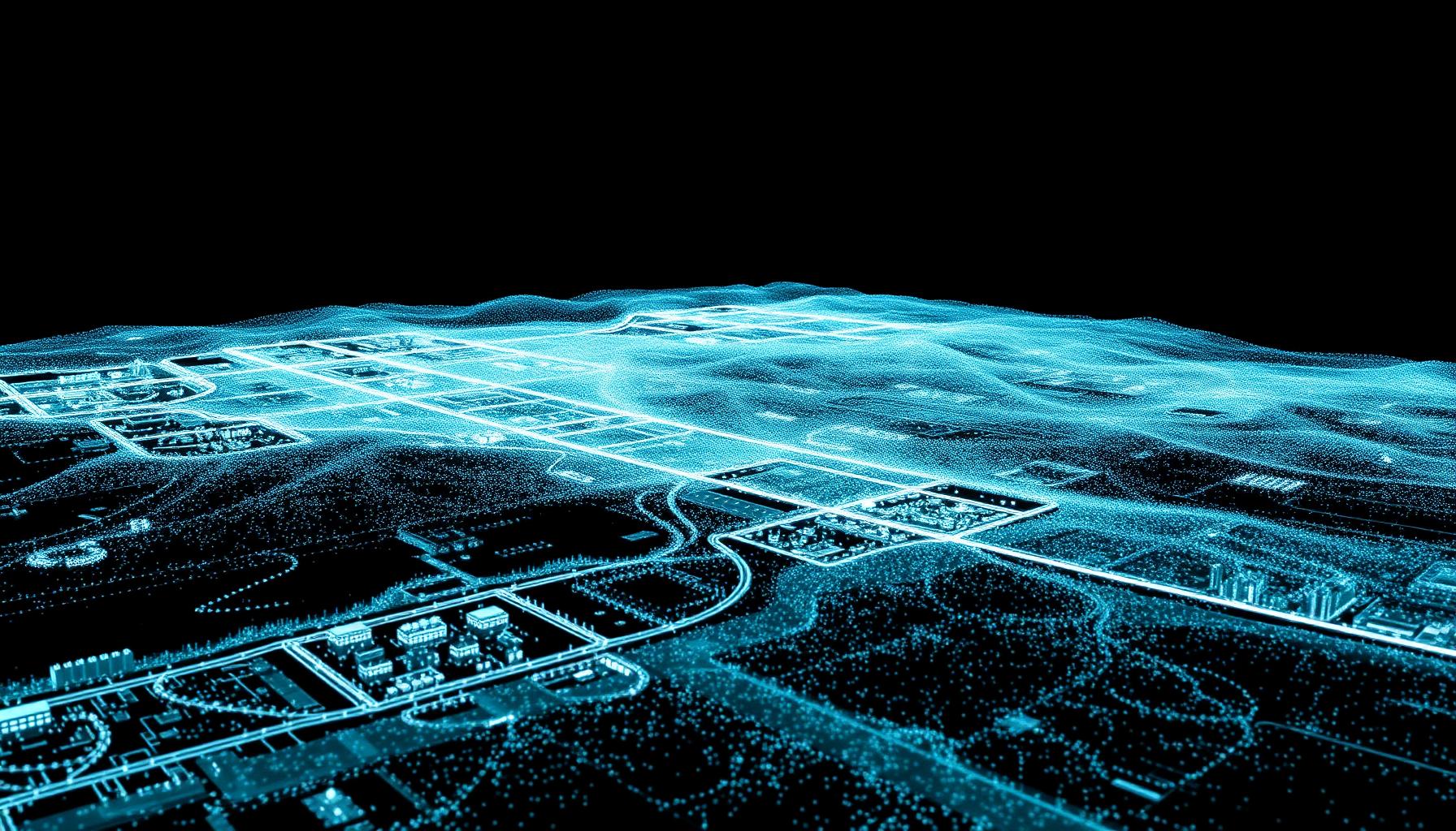
Viewed together, the points create a recognizable three-dimensional model of the site. The dataset can often be rotated, measured, filtered, classified, and analyzed from different perspectives after field collection is complete.
- Ground surfaces
- Buildings
- Roads
- Curbs
- Slopes
- Stockpiles
- Excavations
- Retaining walls
- Construction features
- Equipment
- Vegetation
- Utility corridors
03
A Point Cloud Is More Than a 3D Picture
A LiDAR point cloud may look like a detailed 3D image, but it contains measurable spatial information.
That distinction is important. The dataset can be used to evaluate distances, elevations, surface changes, volumes, slopes, and other physical characteristics of the site. Instead of simply seeing what was present, project teams can analyze it.
That makes point clouds useful for a wide variety of survey, engineering, construction, mining, and mapping applications.
04
Creating Topographic Information From a Point Cloud
One of the most common uses of LiDAR data is topographic mapping.
After collection, the point cloud can be processed to identify the ground surface. That information can then help generate products such as contours, digital terrain models, digital elevation models, existing-condition surfaces, grading information, cross sections, and profiles.
For large or complex sites, the density of the point cloud can provide much more complete surface information than a limited number of manually collected points.
05
Measuring Stockpile and Pit Volumes
Point clouds are also well suited for volume calculations.
Because LiDAR captures the shape of a surface in three dimensions, the data can be used to model stockpiles, excavations, pits, and material storage areas. The resulting surface can then be compared against a base surface to estimate volume.
This can be valuable for aggregate operations, mining companies, excavation contractors, material yards, civil construction projects, earthwork tracking, and inventory management. Repeated scans can also make it possible to track how quantities change over time.
06
Comparing a Site Over Time
A point cloud captures the condition of a site at a specific moment.
That means multiple scans collected at different times can be compared. For example, a project team may collect LiDAR before construction begins, after initial grading, during excavation, at major construction milestones, and after project completion.
Comparing those datasets can help show what changed. This can be useful for progress tracking, earthwork analysis, as-built documentation, and project records.
07
Supporting Engineering and Design
Engineers frequently need detailed information about existing conditions before beginning design.
A LiDAR point cloud can help provide that information. Instead of relying entirely on a small number of selected points, designers may have access to a detailed three-dimensional representation of the project area.
- Site planning
- Grading design
- Drainage analysis
- Road design
- Utility planning
- Existing-condition review
- Constructability analysis
08
Measuring Features After Leaving the Site
One of the practical advantages of a point cloud is that measurements can often be made after field collection is complete.
If a project team later needs an additional elevation, distance, or surface measurement, the information may already exist in the dataset.
That does not mean every possible measurement can always be recovered. Objects may be obstructed, outside the collection area, or not captured at the required level of detail. But a dense point cloud gives teams significantly more information to work with than a dataset containing only the points originally selected in the field.
09
Point Clouds Can Be Filtered and Classified
Raw LiDAR data often contains multiple types of information.
Depending on the project and collection method, points may represent ground, vegetation, buildings, structures, or other surface features. Processing can help classify or filter those points so the information needed for a particular task can be isolated.
For example, vegetation may need to be separated from ground points when developing a terrain model. On another project, structures may be the primary features of interest. The final dataset can be prepared around the intended application.
10
Can Point Clouds Work With CAD and Engineering Software?
LiDAR data is frequently processed into formats that can support existing engineering, surveying, and design workflows.
Depending on the software and project requirements, point cloud data may be used directly or converted into surfaces, contours, linework, models, and other deliverables. The goal is not simply to hand a client a massive collection of points.
The goal is to turn the data into something useful for the people working on the project.
11
Why Point Cloud Density Matters
A major advantage of LiDAR is the amount of spatial information available.
Consider a sloped site. A conventional survey may include strategically selected points representing the terrain. A LiDAR point cloud can contain measurements across the entire visible slope.
That dense dataset can help capture smaller changes in terrain that might fall between manually selected survey points. However, density should always be appropriate for the project. More points are not automatically better if the collection and processing do not meet the project's accuracy and deliverable requirements.
12
What Can You Actually Get From a LiDAR Point Cloud?
Depending on the project, point cloud data can support deliverables and analysis including:
This flexibility is one of the reasons LiDAR can provide value beyond the initial reason a site was scanned.
- Topographic maps
- Contours
- Terrain models
- Surface models
- Stockpile volume calculations
- Pit volume calculations
- Cut-and-fill analysis
- Existing-condition documentation
- Construction progress comparisons
- Pre- and post-construction analysis
- As-built information
- Cross sections
- Profiles
- Measurements
- Engineering and design support