01
Why Document Pre-Construction Conditions?
Before work begins, it can be valuable to create a detailed record of existing site conditions.
That baseline may include information about existing terrain, slopes, roads, structures, drainage features, excavations, stockpiles, adjacent improvements, and existing grades.
Once construction begins, some of that information may disappear permanently. A hillside may be cut. A low area may be filled. An existing structure may be removed.
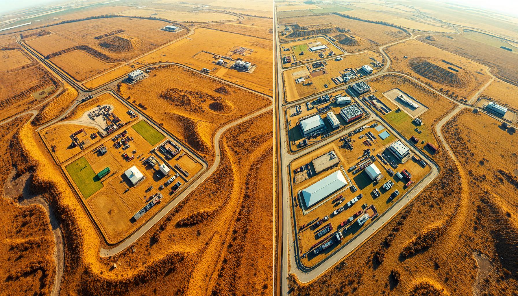
If those conditions were not documented beforehand, reconstructing them later can be difficult. LiDAR can create a detailed digital snapshot of the site before work begins.
02
Establishing a Baseline for Comparison
The pre-construction dataset becomes much more valuable when additional data is collected later.
Instead of relying only on photographs or written notes, the project team can compare three-dimensional surfaces.
That can help answer questions such as: How much material was excavated? Where was fill placed? How did the grade change? How much progress has been made? What existed before construction? Does the finished surface generally match the expected design? How has the site evolved between project milestones?
The ability to compare datasets can turn LiDAR into an ongoing project documentation tool.
03
Tracking Earthwork Progress
Earthwork is one of the clearest applications for construction LiDAR.
A site can be scanned before grading begins and again after excavation or fill operations. Those surfaces can then be compared.
Depending on the project and required workflow, this information may help evaluate cut quantities, fill quantities, excavation progress, grading progress, material movement, and stockpile changes.
For contractors managing large quantities of dirt, aggregate, or other material, having repeatable three-dimensional measurements can provide useful insight into project progress.
04
Documenting Construction Milestones
LiDAR does not need to be limited to the beginning and end of a project.
Data can also be collected at major milestones.
Pre-construction: Existing conditions are documented before site disturbance.
After rough grading: The new terrain can be compared with the original surface.
During construction: Major site improvements can be recorded.
Before certain features are covered: Visible conditions can be documented before later construction makes them inaccessible.
At completion: A final dataset can provide a record of finished conditions.
The appropriate collection schedule depends on the project.
05
What Is As-Built LiDAR Data?
As-built documentation records the conditions that actually exist after construction.
That distinction matters because constructed conditions do not always match design models perfectly.
LiDAR can provide dense measurements across visible finished surfaces and site features. Depending on the project, that data may help support review of finished grades, roads, building exteriors, site improvements, slopes, retaining structures, excavations, surface drainage features, and other visible construction elements.
The specific role of LiDAR depends on the required deliverable and project standards.
06
Comparing Design Intent With Existing Conditions
On certain projects, collected LiDAR data can be compared with design information.
This may help project teams identify areas that deserve additional review.
For example, an engineer or contractor may want to evaluate whether finished grading generally aligns with the expected surface. A dense LiDAR dataset provides significantly more surface information than checking only a small number of locations.
However, the appropriate verification method should always depend on project tolerances and professional requirements. LiDAR can support the process without replacing required survey verification or professional judgment.
07
Creating a Record Before Conditions Change
One of the most important benefits of construction LiDAR is documentation.
Construction moves quickly. An excavation that is open today may be filled next week. A stockpile may disappear. A finished grade may later be covered by another layer of construction.
Capturing those conditions while they are visible creates a digital record that can be reviewed later. That can be valuable when questions arise months after the work occurred.
08
Reducing the Need for Additional Field Visits
A comprehensive LiDAR dataset can also reduce repeat trips to the project.
If a measurement or site question comes up later, the project team may be able to revisit the existing point cloud instead of immediately sending someone back into the field.
This is particularly useful for remote projects or jobsites where mobilization is expensive. The more thoroughly the site is captured, the more useful that dataset may become throughout the project.
09
Construction Progress Visualization
LiDAR can also provide an intuitive way to visualize project changes.
Rather than reviewing only spreadsheets or isolated measurements, teams can see how surfaces and physical conditions changed between collection dates.
That can help communicate progress between contractors, owners, developers, engineers, surveyors, and project managers. A detailed 3D representation can sometimes make site changes easier to understand than traditional documentation alone.
10
LiDAR and Traditional Surveying Can Work Together
Construction projects frequently require traditional survey services.
Control, construction staking, boundary work, precise verification, and other tasks still require appropriate surveying methods.
LiDAR can complement those services by handling large amounts of surface data efficiently. For example, conventional survey methods may establish control and verify critical locations while LiDAR captures detailed information across the rest of the site.
This allows each technology to be used where it provides the most value.
11
Which Construction Projects Benefit Most?
LiDAR can be especially useful on projects involving:
The greater the amount of surface information required, the more valuable rapid, dense data collection can become.
- Large grading areas
- Commercial development
- Road construction
- Infrastructure
- Utility projects
- Mining
- Aggregate operations
- Industrial sites
- Land development
- Major excavations
- Large stockpiles
- Complex terrain
12
Build a Better Record of the Project
Construction teams make decisions based on what is happening on the ground.
LiDAR provides a way to preserve those conditions digitally. By collecting data before construction, during major project stages, and after completion, teams can create a detailed record of how a site changed over time.
Utah LiDAR provides LiDAR data collection for construction, engineering, surveying, development, and earthwork applications. Whether you need pre-construction existing conditions, progress documentation, surface comparisons, stockpile measurements, or post-construction data, LiDAR can help provide a clearer picture of what happened from the beginning of the project to the end.